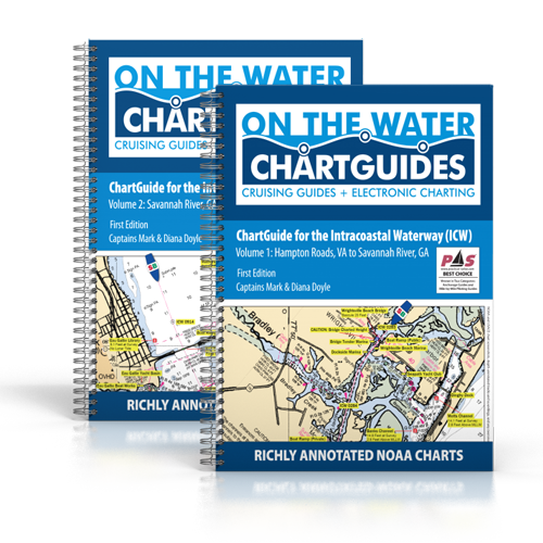
On the Water ChartGuides launches new two-volume “ChartGuide” series including over 3,000 geo-accurate guidance notes and annotations for the Intracoastal Waterway. Captains Mark and Diana Doyle joke they may be the last of the old school cruising guide authors-out there, full-time, collecting firsthand information with an assortment of low- and high-tech survey tools. But that on-the-water commitment pays off in their latest project, as they re-define value in an Intracoastal Waterway chart kit.
“These days everyone has a boatload of smartphones, tablets, PCs, and chartplotters onboard, each with its own flavor of e-charts. So the value of a chart kit isn’t in the cartography anymore, it’s all about the annotations—the visual references to where important things are and what they all might mean,” says co-author Mark Doyle.
The new ChartGuides were designed to leverage two existing On the Water publications. They build on NOAA’s latest color charts and intuitively overlay accurate location and navigation guidance from the Doyle’s ICW CruiseGuide and AnchorGuide editions.
Doyle adds, “Take a look at your chartplotter or mobile device screen, or the ICW paper chart kits by Maptech or Kettlewell. We’re all using standard NOAA cartography as a base. But do they show you the precise and accurate location of anchorages, mooring fields, and free docks? Do they mark upcoming navigation concerns, such as security zones or long stretches without dockage, or extended no-wake zones that delay your evening arrival? Do they warn you that red and green navaids are getting ready to “switch sides”? No. They simply reproduce government charts and, at best, add a limited number of often-misplaced Points of Interest (POI). For 10 years now, we’ve been building this resource set: nav object by nav object, electronic mark by electronic mark.”
These new On the Water ChartGuides provide:
A Visual Reference for the Intracoastal Waterway: Each page is a computer screenshot of official color NOAA charts professionally surveyed and annotated with marinas, anchorages, free docks and walls, bridge notes, survey depths, dinghy landings, boat ramps, cautions, no-wake zones, easily-missed junctions, navaid reversals, and much more.
Rich Annotations: Over 3,000 of these cruising-specific annotations have been overlaid, from simple location data such as anchorage or marina locations, to piloting guidance including survey depths, statute mile marks, cautionary notes, navaid reversals, and dead reckoning (DR) landmarks.
Accurate Annotations: Government and private cartographers often place navigation objects, such as marinas or boat ramps, in approximate locations. The Doyles survey everything that matters to recreational boaters, recording exact lat-long positions directly via laptop digital e-charting software. Annotations are relevant and spot-on accurate.
Compact and Intuitive Ease of Use: The standard book-size makes it easy to use at the helm and every page is the same scale to avoid any distance or scale confusion. Importantly, all charts are laid out with North-up orientation to avoid book-juggling at the helm.
Additionally, boat icons have been included to quickly clarify the ICW’s often serpentine path, page-to-page, and colored icons call out any changes to navaid lateral significance. Statute mile markers are added for every mile, virtually adding back in NOAA’s recently removed Magenta Line, and making any location reference easy.
Belt-and-Suspenders Backup: No matter how many electronic charting devices are onboard, backup paper charts are still recommended. These low-cost ChartGuides fit the bill and add important POI information over existing paper or electronic solutions.
As with the Doyles’ other not-for-profit projects, the goal is to deliver “Almost Free” navigation guides. Color printed ChartGuides are $9.95 on their website and are also available in convenient digital format for $4.99 at the iBooks StoreSM (iPad or Mac).