• Home
  • Cruising Compass Media Advertising & Rates
  • Blue Water Sailing
  • Multihulls Today
  • Contact Us
  • Subscribe Today
Cruising Compass
Dock Talk 0

NOAA’s Tiny Boat Drones Map The Ocean’s Shallow Floors

By Administrator · On March 31, 2016

What shoreline knows not our maps? Most of them, it turns out. While satellites map much of the globe on a daily basis, there are parts of the planet so small and changing that they’re tricky to pin down exactly. NOAA, America’s National Oceanic and Atmospheric Administration, makes charts that anyone who navigates the sea can use, and to get the fine details on little inlets right, they turn to drones. Read More

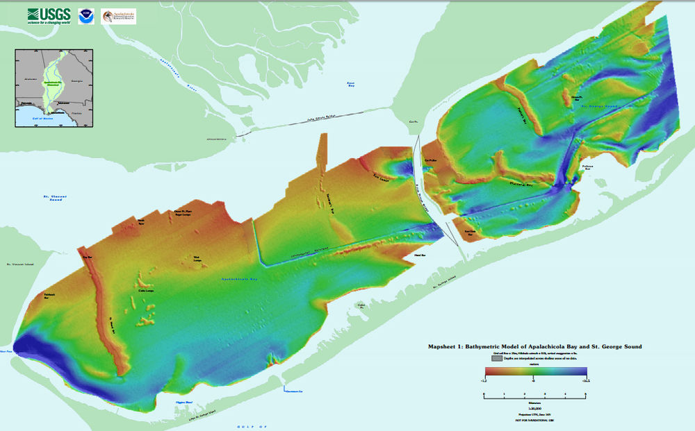
boat dronechartsNational Oceanic and Atmospheric Administration
Share Tweet

Administrator

You Might Also Like

  • Dock Talk

    Tech Talk: Understanding Diesel Engine Blow-By

  • Boat Reviews

    Oyster Launches New Luxury C60 Cruising Cat

  • Dock Talk

    Mindbender

Recent Posts

  • Tech Talk: Understanding Diesel Engine Blow-By

    September 16, 2026
  • Oyster Launches New Luxury C60 Cruising Cat

    September 16, 2026
  • Mindbender

    September 15, 2026

Please Visit Our Sponsor’s Webpages



  • Home
  • Media Advertising & Rates
  • Blue Water Sailing
  • Multihulls Today
  • Archives
  • Contact Us

Published by Blue Water Sailing Media, a division of Day Communications, Inc., Middletown, RI

Publisher & Editor: George Day

Blue Water Sailing Media publishes Blue Water Sailing magazine, Multihulls Today and other titles.

Cruising Compass Advertising Sales:

George Day, Newport, RI
george@bwsailing.com
401-847-7612


Recent Posts

  • Tech Talk: Understanding Diesel Engine Blow-By
  • Oyster Launches New Luxury C60 Cruising Cat
  • Mindbender
  • Survey of the Week
  • Survey of the Week
  • Mindbender
  • Six New Sailboats to Debut st Newport International Boat Show Next Week

Search

© 2014 Blue Water Media. All rights reserved. | Admin