• Home
  • Cruising Compass Media Advertising & Rates
  • Blue Water Sailing
  • Multihulls Today
  • Contact Us
  • Subscribe Today
Cruising Compass
Dock Talk 0

500-year-old Map of New York Harbor Could Fetch up to $10M

By Administrator · On October 20, 2016

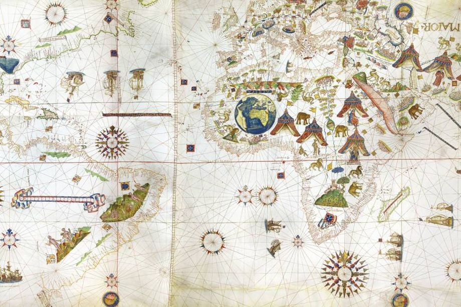
This 1531 map is the first ever map to depict the New York Harbor. Now this is definitely one of those once in a lifetime sort of moments when a 500-year-old map appears on the market, and what’s more it’s the first map ever to depict the New York Harbor. It will be on sale at the Park Avenue Armory in New York City for an equally jaw-dropping number: $10 million, Bloomberg reports. Read More

ChartNew York Harbor
Share Tweet

Administrator

You Might Also Like

  • Dock Talk

    Mindbender

  • Dock Talk

    Survey of the Week

  • Dock Talk

    Mindbender

Recent Posts

  • Mindbender

    June 25, 2026
  • Survey of the Week

    June 25, 2026
  • Man-Overboard Rescue Techniques are Essential Seamanship

    June 24, 2026

Please Visit Our Sponsor’s Webpages


  • Home
  • Media Advertising & Rates
  • Blue Water Sailing
  • Multihulls Today
  • Archives
  • Contact Us

Published by Blue Water Sailing Media, a division of Day Communications, Inc., Middletown, RI

Publisher & Editor: George Day

Blue Water Sailing Media publishes Blue Water Sailing magazine, Multihulls Today and other titles.

Cruising Compass Advertising Sales:

George Day, Newport, RI
george@bwsailing.com
401-847-7612


Recent Posts

  • Mindbender
  • Survey of the Week
  • Man-Overboard Rescue Techniques are Essential Seamanship
  • Mindbender
  • Cruising Legend Jimmy Cornell Reflects on His Life at Sea
  • Survey of the Week
  • Mindbender

Search

© 2014 Blue Water Media. All rights reserved. | Admin