• Home
  • Cruising Compass Media Advertising & Rates
  • Blue Water Sailing
  • Multihulls Today
  • Contact Us
  • Subscribe Today
Cruising Compass
Dock Talk 0

NOAA Clarifies National Charting Plan Vision for Production of NOAA Paper and Raster Charts

By Administrator · On June 7, 2017

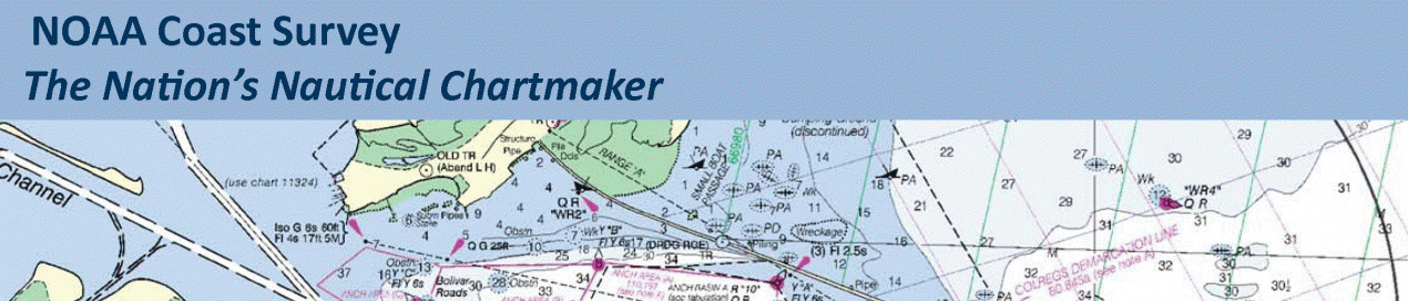
Whether navigating an oil tanker, cruise ship, fishing vessel, sailboat, or any craft, the mariner requires a suite of navigation charts that are consistent and easy to use. The public feedback we received to the National Charting Plan regarding the “sunset of paper” charts (p. 26) highlights two navigation products in particular, NOAA paper nautical charts and raster navigational chart (RNC). Read More


Share Tweet

Administrator

You Might Also Like

  • Dock Talk

    Cruising in the Time of War

  • Boat Reviews

    New Beneteau First 60 Pushes the Design Envelope to the Limit

  • Dock Talk

    Bahamas Fee Increase Depresses Visiting Cruising Fleet by 40%

Recent Posts

  • Mindbender

    March 12, 2026
  • Survey of the Week

    March 12, 2026
  • Update on Indian Ocean Crossings This Spring

    March 11, 2026

Please Visit Our Sponsor’s Webpages


  • Home
  • Media Advertising & Rates
  • Blue Water Sailing
  • Multihulls Today
  • Archives
  • Contact Us

Published by Blue Water Sailing Media, a division of Day Communications, Inc., Middletown, RI

Publisher & Editor: George Day

Blue Water Sailing Media publishes Blue Water Sailing magazine, Multihulls Today and other titles.

Cruising Compass Advertising Sales:

George Day, Newport, RI
george@bwsailing.com
401-847-7612


Recent Posts

  • Mindbender
  • Survey of the Week
  • Update on Indian Ocean Crossings This Spring
  • Survey of the Week
  • Mindbender
  • Cruising in the Time of War
  • Survey of the Week

Search

© 2014 Blue Water Media. All rights reserved. | Admin