


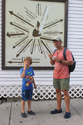
A cruising family gets reacquainted with the liveaboard lifestyle on an East Coast run (published September 2012)
The dream part of every cruise is exhilarating sailing and the anticipation of interesting places to visit. The downside? A constant stream of problems that demand solutions. Somewhere in between is the reality: a balance of pleasure and effort to truly earn the privilege of the sailing life. After a long hiatus from cruising, my husband and I were reminded of this when setting off for a cruise along the northeast United States aboard our 1981 Dufour 35, Namani.
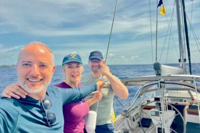
The idea was to move south while shaking out any kinks in our boat systems before eventually stepping up to offshore passages. Even after devoting several seasons to a full refit and six weeks to getting the final touches ready for an extended sabbatical at sea, a few projects remained. Just as the boat needed a warm-up cruise, so too could my husband Markus, eight-year-old son, Nicky, and I use the opportunity to ease back into full-time living aboard. Over the course of the following month, we would sample several distinct cruising grounds between Maine and the Chesapeake Bay. In the end, though, it wasn’t the navigational challenges of each region that defined the theme of our cruise, but the time devoted to completing projects underway; it’s safe to say we read more manuals than novels as we moved south with the seasons.
TO DO (AND DO AND DO) LIST
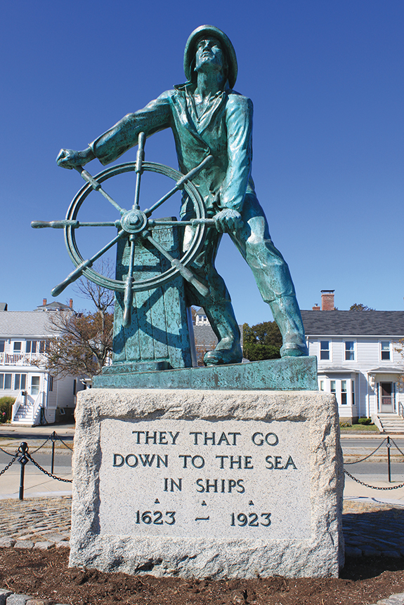
Our jumping off point was lovely Portland, Maine, a city rising in brick layers above the stone fortifications of Casco Bay. The harbor is protected by a ring of islands so closely huddled that anti-submarine nets could be strung between them during the dangerous days of World War II. Nowadays, the only thing that will snare a sailor are the lobster pots strewn everywhere. Using the last rays of the setting sun to dodge them, we departed on the first leg of our trip, an overnight sail to the Isles of Shoals.
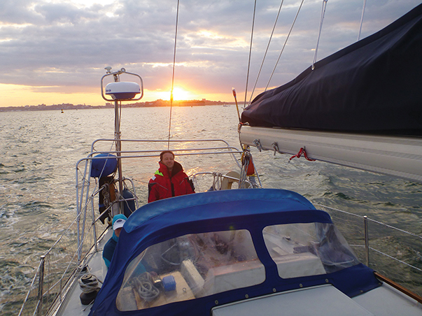
One by one, winking navigation buoys and the bright beam of Portland Head Light faded as we headed out to sea and crossed the Rum Line. Not the rhumb line, but the Rum Line: the term goes back to prohibition days, when smugglers ducked through gaps between patrols three miles offshore. Hand steering through a night of light winds in seemingly endless three-hour shifts quickly helped us prioritize our to-do list: repairing the autopilot and testing our new Hydrovane wind vane self-steering were bumped to the top, as soon as daylight permitted. In the meantime, we devoted part of the moonlit night to calibrating our new radar by setting a direct course for fishing boats or buoys—a disconcerting exercise to say the least! So it came as some relief when dawn lit the low, rocky shores of the Isles of Shoals 50 miles later.
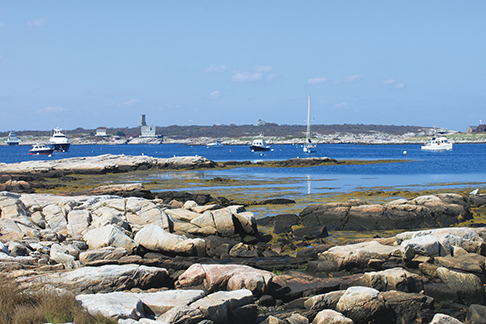
Gosport Harbor, a sheltered pocket ringed by the Isles of Shoals, is a natural stopping point for yachts transiting New England: from here, they are poised to make an overnight run to the Cape Cod Canal or day-trip along the coast of Massachusetts. We spent a quiet day in Gosport, dividing our time between catch-up naps, reviving a corroded contact in the autopilot and exploring the peaceful islands; this menu of activities provided a sample of what would ultimately fill out our shakedown cruise.
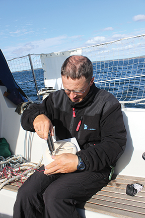
When it was time to push off again, we opted for the inshore route and immediately experimented with the Hydrovane, which can steer the boat with wind power alone. Once we had Namani’s new sails trimmed and balanced, this turned out to be a smooth operation, and we could put our hands to other tasks. It was September, and high time for Nicky and me to get serious about home schooling. Meanwhile, Markus repaired the cockpit speaker so we could hear the VHF clearly instead of only a faint squawk from below. However, we also uncovered a new problem—a minor but persistent leak through a low-set porthole. Prospective cruisers, beware of this law of boating: scarcely is one item crossed off the to-do list before another is added to the bottom! In fact, it’s better to imagine a boat’s chore list as an endless scroll rather than a single sheet of paper with a deceiving end point!
Over the course of the afternoon, the innocent morning haze gradually morphed into menacing storm clouds that gained height from one hour to the next and sent us scurrying into Gloucester Harbor. There, we waited out a strong cold front and addressed the leaking porthole. The exercise reminded us of another law of boating: each do-it-yourself-job starts with at least a day of locating parts and supplies. In the end, we could only find an inferior sealant, settling for a temporary fix until our planned work period (as distinguished from the unplanned ones) in the Chesapeake Bay. Still, we were happy to spend time in Gloucester, a friendly working harbor with an interesting history. Joshua Slocum set off on his circumnavigation from this very port in 1895, and generations of fishermen have worked the waters of New England from its docks.
NIBBLING THE BIG APPLE
Underway again under a cold, blue sky, we bundled up in thick layers of clothing. Namani left the imposing twin lighthouses of Cape Ann behind and gradually passed by Boston’s glittering skyline. Timing our arrival at the Cape Cod Canal to coincide with a favorable current, we shot through the seven-mile slot at a speed of 8 knots and ended a long day in pleasant Onset. Fall colors on land blended with the setting sun to wash the anchorage in red, orange and pink hues—a living postcard of fall in New England.
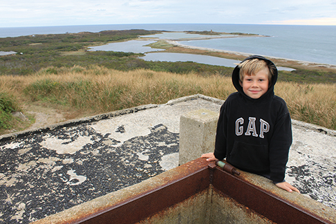
Following the seasons, we felt like part of a natural cycle, moving in step with flocks of geese who settled on the ground each evening and rose aflutter each morning, heading south, ever south. Now in Buzzard’s Bay, we could ride 15 to 20 knot following winds to intriguing places like little Cuttyhunk, with its handful of year-round residents and World War II lookout stations; legendary Newport, where we were more impressed by the lovely colonial houses in the historic district than the famous mansions; and Block Island, the smallest city in the smallest state, according to tourist literature. This was coastal cruising at its best, blessed with Indian summer weather and a mini adventure in every port. Except for an afternoon devoted to re-connecting the SSB transceiver, the ever-present job list was pushed to the back burner while we built memories from the sights (historic lighthouses), sounds (honking geese) and flavors (ice cream) of each day. Anchorages were void of summer crowds and temperatures were back up over 60°F, making a dip in the sea a pleasure rather than a major act of willpower.
The only thing marring our enjoyment of these quintessential New England pleasures was anxiety over our upcoming leg to New York City. We penciled out a precise schedule to run the gauntlet of strong currents ahead: a foggy 10am departure from Block Island to catch slack tide at The Race, the eastern entry point to Long Island Sound, followed by a current-enhanced westward run throughout the shower-swept afternoon. Just as predicted, Namani’s speed dipped at night when the tide turned, and true to the forecast, rows of dark clouds drenched us in a series of wet onslaughts.
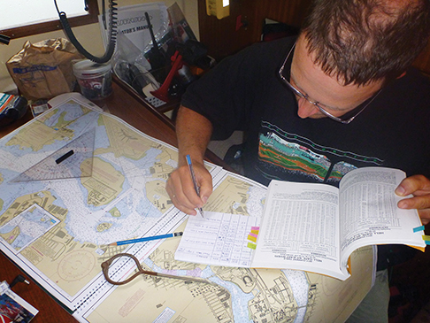
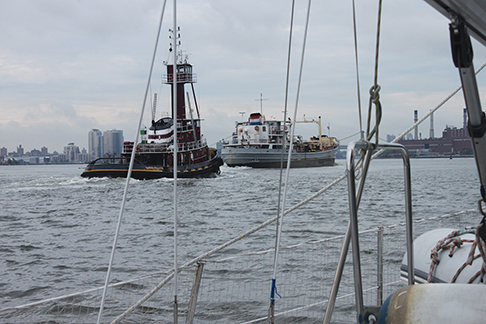
A bigger challenge than the weather was keeping track of commercial boat traffic. In open water, it’s quite effective to light up a ship like a city block: less so when a ship is moving against a background of city blocks! A steady stream of tugs silently pushed their loads, east or westbound, throughout the night. I was also caught off guard by a buoy that suddenly switched from blinking red to green, until I realized it was a traffic light in a Long Island suburb! At long last, the rising sun lit the first of New York City’s bridges. Namani was spot on schedule at infamous Hell Gate, which, I was relieved to discover, was a tame beast indeed during its brief slack water slumber. When the tide is running, on the other hand, this confluence point of two rivers is notorious for powerful, swirling currents. Sliding through unharmed, we felt we had passed another test of our shakedown cruise: Passage Planning 101.
The worst behind us, we ticked off city sights from our cockpit like first-time tourists, even though we know New York well. Namani was one of a handful of sailboats transiting the East River, watching the city stir to life with the rising sun. Soon we were engulfed by the noise of buzzing helicopters, zipping ferries and lumbering trucks on the riverside highways: just another morning in the big city. It occurred to me that weather reports are to sailors what traffic reports are to city commuters, and I felt lucky to belong to the first group.
Cruising is as much about taking care of your boat as visiting interesting places, so our first order of business was to locate more gear, including sealant, charts and a new stereo. Our bargain mooring at the 79th Street Boat Basin was just a dinghy ride and three blocks away from the subway. In contrast to bucolic New England, everything in New York seemed large and loud. Still, the New England connection was there: many of the imposing public buildings are built of Maine granite, delivered once upon a time by hardy Down East sailors.
SQUALLS, STEREOS & SHORTCUTS
After three days of buzzing city impressions, it was something of a relief to depart. The main hazards on the way to the Verrazano Narrows were barges moored smack in the middle of New York Harbor. From the foam at their bows, I could have sworn they were making way, but it was only the 3-knot Hudson current at work. The Statue of Liberty raised her torch in farewell as New York gradually slid out of view. Another remarkable port was behind us, and we looked forward to quieter landfalls from that point forward—and quieter water, after being thoroughly shaken and stirred by the wind-against-tide combination in the Ambrose Channel.
After the superlatives of the preceding weeks, we weren’t too impressed by New Jersey’s low-lying coast and sprawling settlements. More interesting was the combination of coastal sailing and Atlantic waters: the open ocean to port, land to starboard. Buoys moaned, gonged and whistled in succession as we broke through the line of 40° north at last. A series of heavy squalls struck in the early morning, accelerating moderate winds into a series of short-lived roars and making the term “shakedown” a literal expression. Each such episode, however wet and intense, had the positive effect of making us feel ever more ready for the long passages we had planned for later in the season.
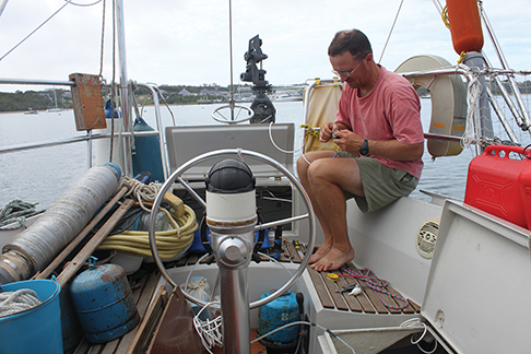
Cape May earned New Jersey many bonus points, with its beautifully detailed Victorian houses and nearly deserted beach. These captured our attention while we waited for favorable conditions to enter potentially bumpy Delaware Bay. Well, we didn’t exactly wait: Markus installed the new stereo, mainly to give us the pleasure of listening to music while completing future projects! Meanwhile, we observed the ebb and flow of boaters arriving, resting and departing the anchorage, one batch after another, all intent on reaching warmer climes.
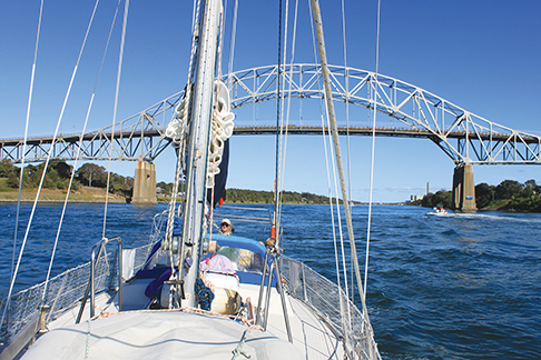
Finally, Namani took a shortcut through the Cape May Canal to the Delaware Bay, slipping through without incident despite her six-foot draft. Once again, we had our timing right: our current-enhanced speed rose while seas diminished and we flew up the Delaware Bay at up to 9 knots over ground (until, that is, a trimaran passed and showed us the meaning of “flying”). Forty miles from Cape May, we furled the sails and entered the sheltered, 14-mile long Chesapeake and Delaware Canal.
REFLECTIONS
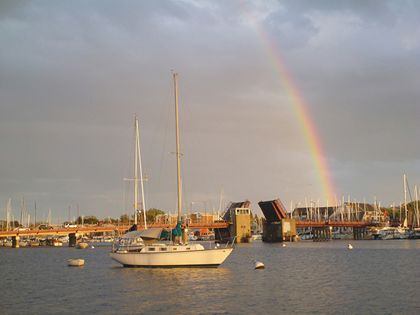
Resting at anchor in Chesapeake City’s tight basin that night, we felt tired but excited to have reached another milestone: the Chesapeake Bay, a sheltered expanse over 150 miles long. Just two short days later, Namani was breezing along on a close reach to Annapolis, “a quaint drinking town with a sailing problem.” Picking up a mooring just a stone’s throw from the historic town, we toasted our progress to date: 1,000 miles, nine states and three canals since setting off from Maine a month earlier. We had weathered three overnight runs (literally, given the numerous downpours) and felt like we were again in the swing of the cruising life. Now we were poised to explore the Chesapeake Bay while preparing for a passage to Panama. Later, near Norfolk, we observed several crews making hasty departure preparations for the Caribbean without the benefit of a shakedown cruise to get to know their vessels, crew or even toolboxes, making us doubly value our East Coast experience.
In hindsight, we discovered that the swift currents we were warned of (near Cape Cod, around New York, and in the Delaware Bay) were quite manageable when timed carefully. Fall cruising was chilly at times, but the absence of summer crowds was a definite plus. Throughout our cruise, we were reminded that good times must be earned through ongoing maintenance and repairs, especially when sailing an older vessel. Most of all, our experience taught us the importance of simply getting a cruise started, even if some secondary projects remain unfinished. Quite simply, all the work will never be done. If we’d waited for that elusive time, we would still be in Maine (lovely as it is) instead of reflecting upon our experiences from the tropics.
Finally, it’s fair to say that no cruise is ever long enough. Any of the interesting areas we visited would make a fine destination for leisurely exploration in itself. Did we have a clear favorite? At the risk of sounding like an elementary school teacher, I couldn’t pick just one. The real winner is the cruiser who draws from the lessons of a shakedown cruise and heads for ever-new horizons.
Nadine Slavinski is the author of Lesson Plans Ahoy, an educational resource for sailing families. She lives and cruises aboard her 1981 Dufour 35, Namani, together with her husband and young son.
LESSONS LEARNED
We were sailing a boat we knew well and had already spent six weeks preparing; nevertheless, each cruising day ended in one project or another. Prospective cruisers beware: don’t even think about setting off on your dream cruise without a thorough shakedown!
When planning the legs of a trip, it pays to research three possible end points for each day: an ambitious stretch if conditions allow, an intermediate destination, and a nearby port to pull into if you discover a problem underway. It’s a mental game—with all three possibilities fleshed out, we feel good about making our “ambitious” end points, but if something goes awry, we don’t have to scramble for alternative ports.
Since this trip was the beginning of a two-year cruise, we kept a close eye on expenses. Although we had to pay for more moorings than we had anticipated, we were able to keep our costs within a budget of $70 per day. Half of this went toward mooring fees and food; the rest covered insurance, hardware and repairs, fuel, public transportation, entertainment (bike rental, museum entry), and so on. We treated ourselves to two inexpensive meals out and consumed many an ice cream along the way.
MAPS AND CRUISING GUIDES
Our most consulted guide throughout this trip was the Eldridge Tide and Pilot Book. This indispensible book is published every year with full information on tides and currents. We were also aided by several different cruising guides along the way. The best was A Cruising Guide to the Maine Coast, by Hank and Jan Taft and Curtis Rindlaub. This encyclopedic volume covers all of Maine and the Isles of Shoals. From that point on, we consulted the Dozier Waterway Guide Northern, covering everything between Maine and Cape May, New Jersey (we prefer the Dozier guide to the ubiquitous Maptech Embassy Cruising Guide because Dozier does a better job of focusing on key navigational points). Finally, we were satisfied with the Chesapeake Bay Magazine’s Guide to Cruising Chesapeake Bay—once we realized that many anchorages listed are out of the question for any boat drawing more than four feet. Maptech Chart Books for regions 2, 3, and 4 served us well throughout the trip.