


What you need to know about the recent change to the US Inland Navigation Rules (published September 2015) Last year about this time, the USCG changed […]

What you need to know about the recent change to the US Inland Navigation Rules (published September 2015) Last year about this time, the USCG changed […]
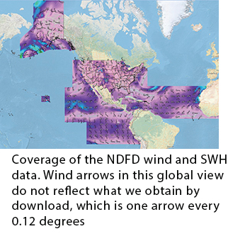
(published July 2015) The primary method of weather routing underway these days is based on vector wind forecasts in GRIB format displayed in echart navigation programs. […]
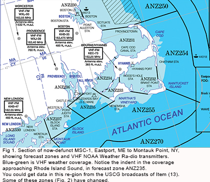
(published May 2015) For many years the National Weather Service (NWS) published Marine Weather Services Charts (MSC) that listed crucial information for mariners using their services. […]
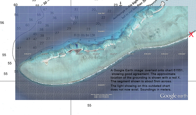
What the grounding of the Team Vestas Wind boat in the Volvo Ocean Race reminds us about our own navigation (published January 2015) We have long […]

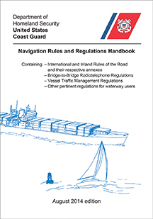
Understanding the most important book in navigation (published November 2014)Recent maritime news brings us back to the Navigation Rules. We tend to think of these Rules […]
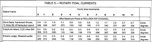
Learn the nuances of these currents to help in your coastal navigation (published September 2014) Most tidal currents we deal with on inland waters are reversing […]
How to learn and practice celestial navigation using data from a 2,800 mile ocean passage (published May 2014) Most blue water sailors think about learning celestial […]
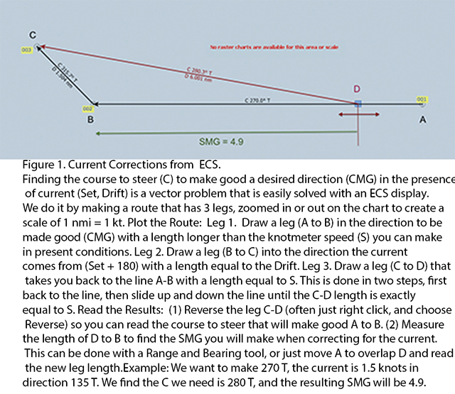
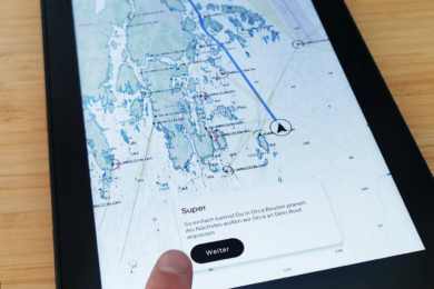
How to use your electronic charting system for navigation, even if your GPS fails (published March 2014) We might assume an electronic charting system (ECS) is […]
Why we should learn to navigate (published January 2014) If you rely solely on GPS to navigate in the fog, you will not know if it […]
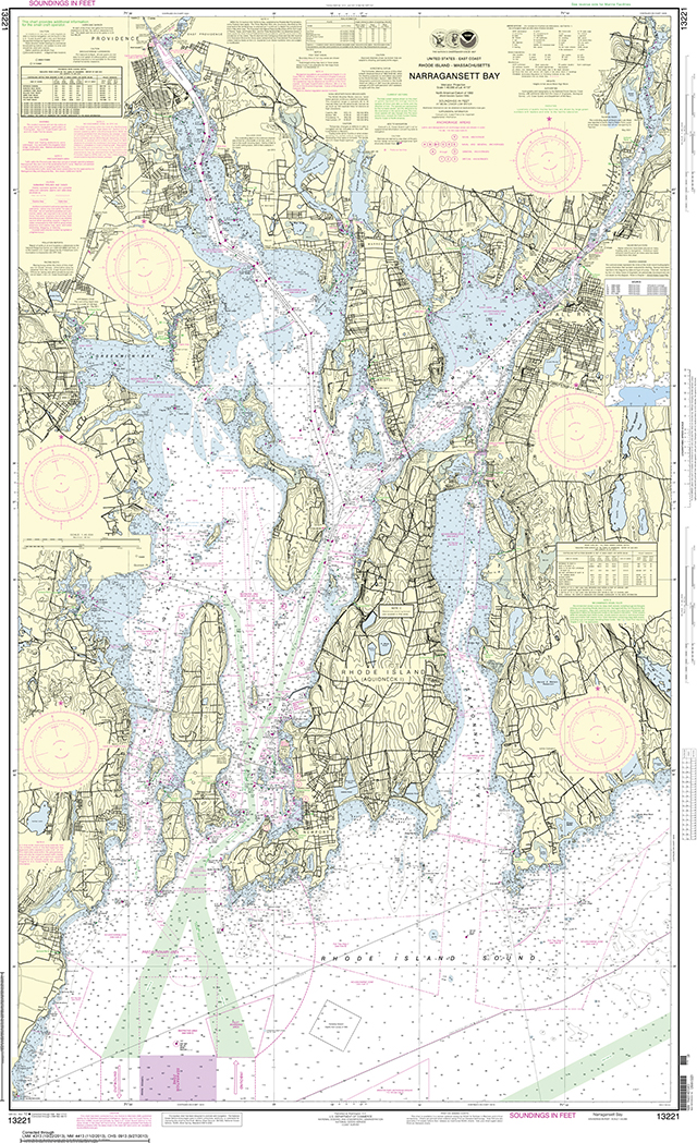
(published December 2013) NOAA recently announced that the U.S. government is discontinuing printing of the traditional lithographic paper charts in April, 2014. The reasons given include […]